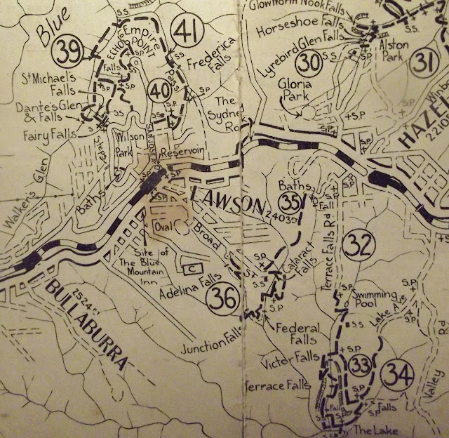
This walk takes in a lot of lookouts and waterfalls as it makes its way from Hazelbrook to Lawson. A road follows the route today, so a current map is essential.
The Baths (near the beginning of the walk) were at one time a well developed site - basically a wreck today (if you can find them).
https://trove.nla.gov.au/newspaper/article/194479621# Here is an extract from the article.
"In answer to the request of the Hazelbrook Urban Committee for a report regarding the possible enlargement of the Hazelbrook Pool, the Shire Engineer reported in a very comprehensive manner."
South Lawson Waterfall Walk: https://www.youtube.com/watch?v=ZtIeti5FNgE
https://johnsbluemountainsblog.blogspot.com/2013/12/links-to-all-blog-entries-and-relevant.html All Blue Mountains blogs and videos
All New England and other Geology blogs and videos
Limestone Caves of NSW
Song Studies. Bible studies based on hymns and songs
Shoalhaven District Geology.


